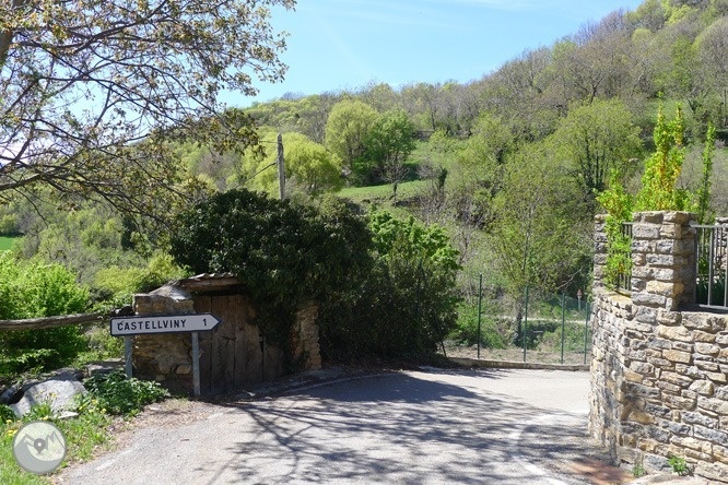
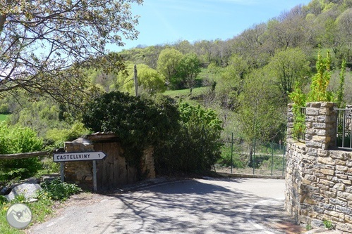
We continue the excursion towards Pujalt, the next population center that we will visit. We leave Olp along the Castellviny road (it is indicated) and after about 80m we leave the road behind and go up a dirt road that heads to the right towards Pujalt.
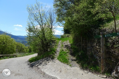
We leave the road behind and take a path towards Pujalt.
From now on we will go flanking the mountain on flat terrain or on a slight rise. After about 15 minutes we cross a path that would take us directly down towards Castellviny, we continue straight on towards Pujalt. This section of the itinerary offers us magnificent views of the Noguera Pallaresa river valley, of the Torreta del Orri (2,439m) -which we have just to our left (in an E direction)- and, if we look back, of the great peaks of the Valley Ferrera.
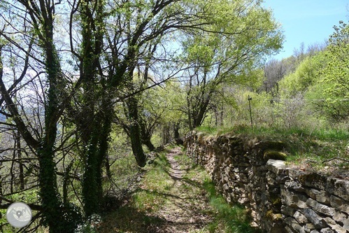
We flank the mountain along a very pretty path.
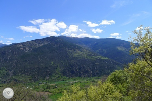
Views of the Noguera Pallaresa river valley and the Torreta del Orri (2,439m).
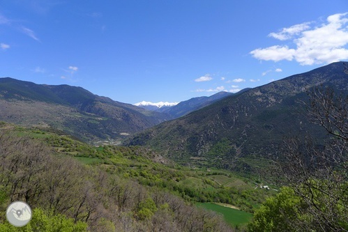
Looking back: in the background we see the snow-capped mountains of Vall Ferrera, among which the characteristic Monteixo pyramid (2,905m) stands out.
We arrive at a point where the path ends at the road that connects Olp and Pujalt. We make about 50m along the edge of the road and almost immediately we take a path again. From this point we can enjoy wonderful views of the beautiful town of Pujalt, where we are heading, on the other side of the Estanyalga ravine.
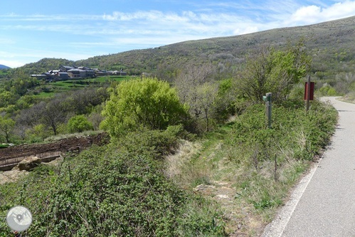
We make about 50m along the road and take a dirt road again (left).
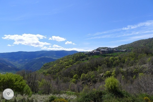
Views of the town of Pujalt on the other side of the ravine.
The path goes down a few meters to the grass meadows at the bottom of the ravine. We make a few meters along the side of a stream that we soon leave behind. We gain height again directly towards Pujalt.
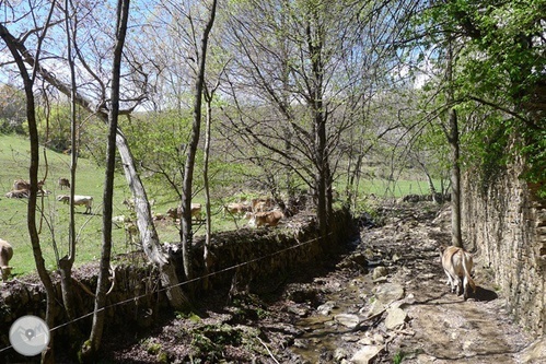
Estanyalga Ravine.
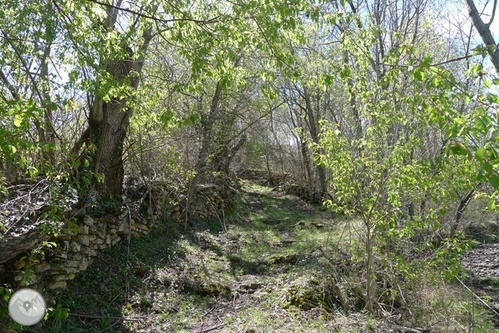
We leave behind the bottom of the ravine and climb towards Pujalt.
In this section of ascent we find several panels with drawings and explanations of the butterflies in the area. They are panels of the itinerary of the butterflies, a circuit promoted by the Museum of the Butterflies of Catalonia in Pujalt, a very prominent research and dissemination center on this insect (timetables and more information: www.papallones.net).
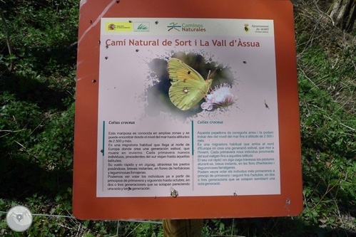
Informative panel of the butterflies of the environment.
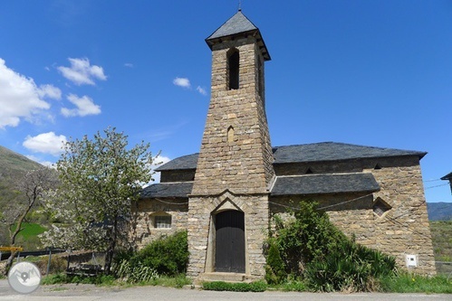
Finally we arrive at the town of Pujalt (2:00 – 1,162m), which is located on top of an elongated plateau with cliffs on its northern (N), eastern (E) and southern (S) sides. In Pujalt we find the parish church of Sant Pere, recently built, and the Butterfly Museum, which is located in the building of the old school of Pujalt, where in 2009 some scenes of the miniseries Les Veus del Pamano were filmed, based on in the homonymous novel by the writer Jaume Cabré.
Parish Church of Sant Pere in Pujalt.
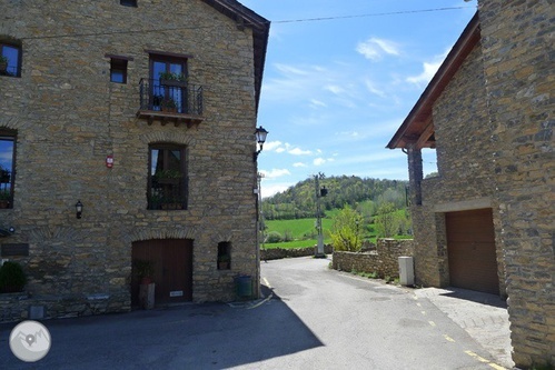
We continue the itinerary: from the church of Sant Pere (Pujalt entrance) we walk about 50m along the main street to the Ca l'Anton hostel. At this point we turn right and leave the town along the paved road that goes towards Enviny.
Ca l'Anton hostel and the road that leaves the town towards Enviny.
We advance about 80m along the road and we turn off onto a dirt track that goes to the right. We follow the indications of Enviny and the yellow signs of the Batlliu de Sort itinerary.
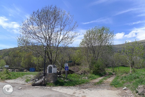
We take the Enviny road (we leave the paved road).
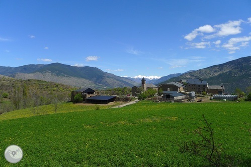
Views of Pujalt, back to the right.
We alternate sections of trail and sections of dirt track, and we gain altitude little by little.
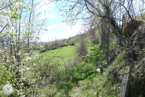
Trail section.
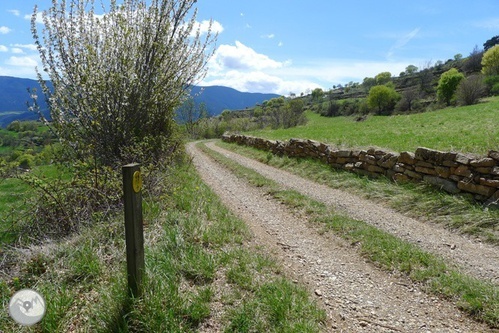
Itinerary through the Batlliu de Sort 1 Section of dirt track.
We reach a point where the whole perspective of the Montardit valley opens up. The trees give way to a more arid area, with bushes, thickets and grassy meadows. We are advancing along a path that flanks the mountain.
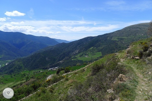
Views of the Montardit valley.
We reach a point where we find the detour (2:25 am) of the path that goes up to the hermitage of Sant Roc. We take it and in a few minutes we reach the remains of the hermitage of Sant Roc (2:30 – 1,304m); we will see that only the walls are preserved. From this point, the views of the Torreta del Orri (E) and the Montardit valley itself are spectacular!
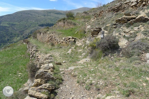
Detour to the hermitage of Sant Roc.
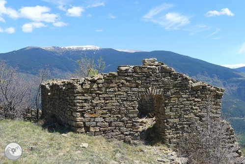
Remains of the hermitage of Sant Roc.
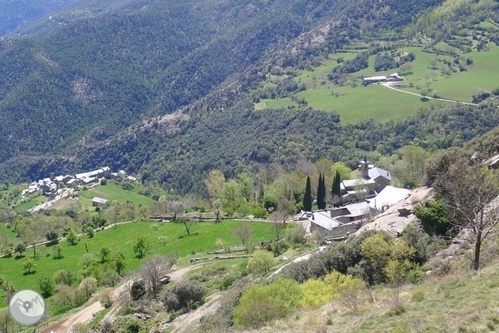
Enviny (right of the image) and Montardit de Dalt (left of the image).
From the hermitage we retrace our steps until we reach the Enviny path again where we came before. We continue flanking the mountain until we reach the upper part of the town of Enviny (2:50 – 1,160m). We surround the first houses of Enviny on our left and enter its lonely alleys: the ruined chapel of Santa Llúcia, historic houses, magical corners, the laundry room,... Some scenes from the miniseries Les Veus del Pamano (2009) were also filmed here ). Finally, already in the lower part of the town, we find the church of the Virgen de la Candelaria de Enviny (currently Purification).
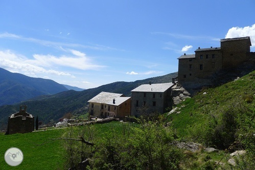
We skirt the tall houses of Enviny on our left.
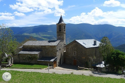
Church of the Virgen de la Candelaria (or Purification) of Enviny.
We continue our excursion along the path that starts from the left of the Enviny church cemetery, in the direction of Bressui and Sort (it is indicated).
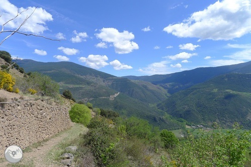
We take the street that goes towards Bressui and Sort.
Almost immediately we find the detour to Montardit de Dalt. We continue on going down in a clear direction E. We gradually lose altitude, advancing through meadows, areas with bushes, fields supported by dry stone walls and some holm oaks. In some sections we advance along the path and in others along the dirt track, we always have to follow the Bressui signs and the yellow markings.
https://cdn2.paraty.es/lesbrases/images/1a6d1ad2159fc4f=s500 Descent towards Bressui.
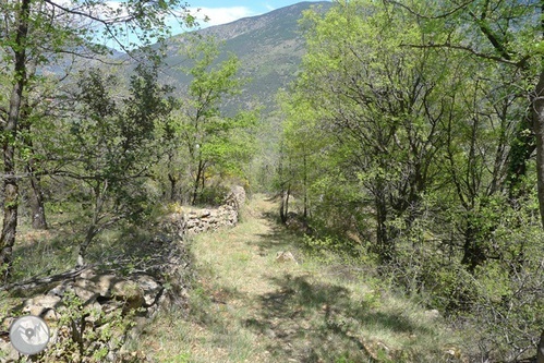
1 We cross a forest of oaks.
We reach the upper part of the Bressui neighborhood. We can go around it to the left -passing in front of a private house- or go down the paved road for about 100m and take the paved track that enters Bressui from the S. In any case, we reach the lower part of Bressui (3:30 a.m. – 840m), where we find the church of Sant Miquel.
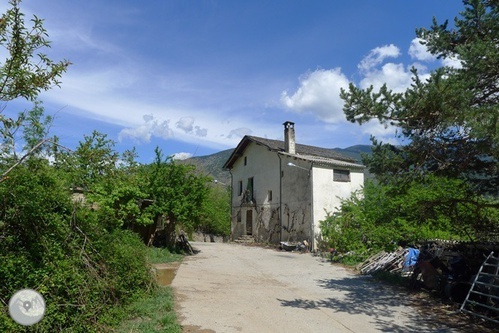
Upper part of Bressui.
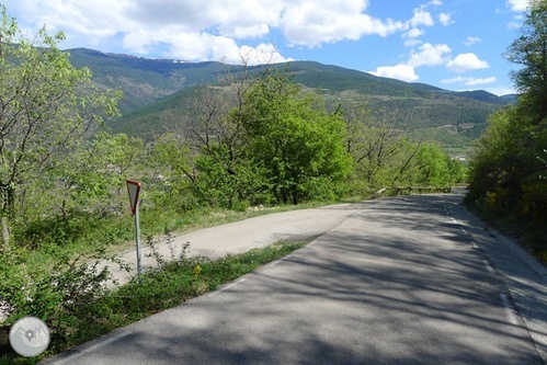
We go down the road for about 100m and take the paved track on the left to enter Bressui.
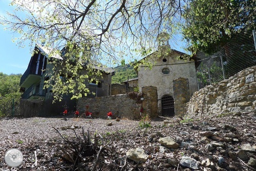
Church of Sant Miquel de Bressui.
We follow the route towards the town of Sort, which we can soon see through the trees.
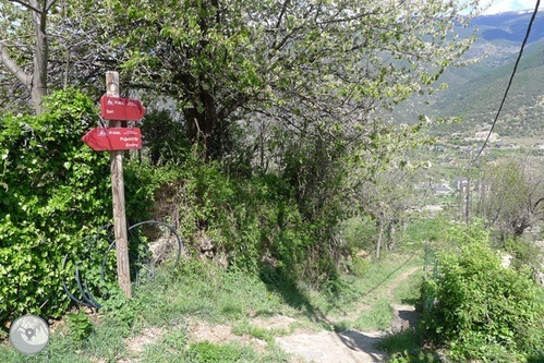
We continue towards Sort.
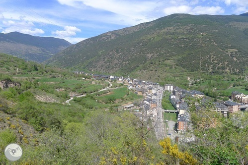
We can already see Sort during the last leg of the descent.
We reach Sort at its S end, specifically we reach the street that connects the C-13 road with the upper part of Sort, where the school, institute and Sort castle are located. Indistinctly we can choose to go down to the road and cross Sort following the road, or go up a few meters to the castle of Sort, go around it on our left (on the side of the school) and go down the streets of Sort until we reach the Hotel again. Les Brases de Sort Restaurant (3:50 – 700m).
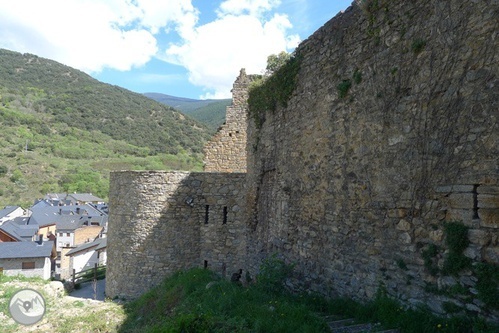
Castle of Sort. We surround it on our left.
+ info at http://www.rutaspirineos.org/rutas/batlliu-de-sort

